Multi, Rakúsko:, 1 z 2
Modellflugplatz UMBC Laa/Thaya, multi, Dorfzentrum Prottes, Sporthalle Fischamend, multi, multi, multi, multi, multi, multi, Turnsaal Volksschule, multi, multi, multi, multi, multi, multiMulti, Rakúsko:, 2 z 2
multi, Union Sportanlage, multi, Funpark Gänserndorf, multi, multi, multi, Turnsaal, Sporthalle Mistelbach, multi, multi, multi, multi, multi, Mehrzwecksportplatz, Sporthalle Auersthal, Volksschule Turnsaalmulti inde
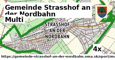
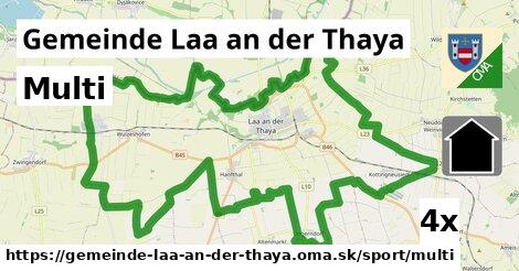
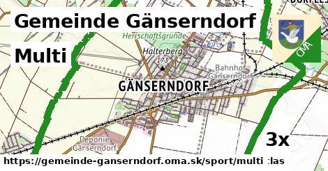
Gemeinde Strasshof an der Nordbahn (4x), Gemeinde Laa an der Thaya (4x), Gemeinde Gänserndorf (3x), Gemeinde Weikendorf (3x), Gemeinde Matzen-Raggendorf (2x), Haringsee (1x), Gemeinde Leopoldsdorf im Marchfelde (1x), Gemeinde Hainburg an der Donau (1x), Gemeinde Prottes (1x), Gemeinde Auersthal (1x), Marchegg (1x), Gemeinde Bruck an der Leitha (1x), Gemeinde Enzersdorf an der Fischa (1x), Deutsch Jahrndorf (1x), Fischamend (1x)Podobné, Rakúsko:
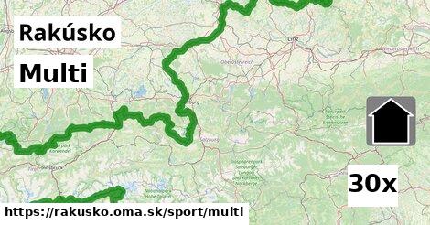
985x ihrisko, 338x detské ihrisko, 262x futbal, 260x jazdenie na koni, 228x tenis, 108x plávanie, 85x plážový volejbal, 77x športové centrum, 34x multi, 31x atletika, 28x streľba, 26x basketbal, 26x skejtbord, 21x posilňovňa, 16x park pre psov, 12x verejná plocha, 11x motorky, 9x štadión, 6x stolný tenis, 6x lukostreľba, 6x golfové ihrisko, 5x golf, 4x mini-golf, 4x klzisko, 4x hokej, 4x dostihy, 4x šach, 2x tanec, 2x kolky, 2x bicyklovanie, 1x lyžovanie, 1x hádzaná, 1x preteky psov, 1x BMX, 1x rybolov, 1x boules, 1x gymnastika, 1x lezenie, 1x biliardHľadáme multi, OSM tagy: sport = 'multi'.
